
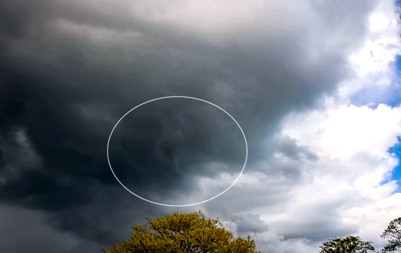
A Tornado appears to have been spotted on camera in Shanklin.
Footage captured by the IW Met Service yesterday (Wednesday) shows dark, swirling clouds in the sky above the town.
Different cameras filmed the moment that the sky turned darker, with a swirling plume appearing to be visible.
Meanwhile, a Met Office weather warning - which includes the Isle of Wight - has been brought forward to this afternoon (Thursday).
The yellow weather warning for strong winds will now come into force at 3pm, instead of 6pm, and last until 9pm tomorrow.
You can watch the video below:
Tornado in Shanklin this afternoon!Tornado in Shanklin! We saw some active weather today, but around 15:00 this afternoon a line of showers and small storms developed and moved in a NNW to SSE track. We watched earlier storms and even managed to capture a lightning strike, but this next line had a distinct boundary due to much drier and increasingly stable air to the west/southwest. So we sat on the southwestern edge of the boundary which gave us an amazingly clear view of the cells just to our north and east. At approx 15:20 there were signs of rotation in the cloud base to the WNW (looking from Shanklin big mead) and as it approached we could hear the rushing noise of approaching wind. As the circulation went almost overhead the wind suddenly picked up from the west, almost blowing us over at one point! Within seconds the wind turned into the north as the circulation passed and then finally settled into the east for a good 5 minutes as the rotation moved off to the southeast. But there was no "funnel" I hear you cry! Tornadoes don't actually need to have a visible funnel to be on the ground, and whilst there was indeed brief moments where a funnel became visible at cloud level, there was never any actual condensation funnel below it. The reason is very simple though, the air was just too dry to produce a condensation funnel and the tornado was too weak, this meant that any pressure drop within/around the actual vortex would have only been slight, so this is also another reason why no funnel was visible. The wind graphs at the end of the video also shows the wind increase and sudden change in direction. (The wind direction scale is in degrees). We estimate that the winds likely peaked around 50mph at the most making this a T0 on the TORRO scale. It was extremely exciting though nevertheless!
Posted by IW Met Service - The Isle of Wight Weather Service on Wednesday, May 19, 2021
 Isle Of Wight Council To Move To Committee System In 2025
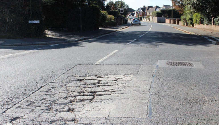
 Highway Improvement At Church Litten Next Week
 Man Arrested After Being Caught During Act Of Self-Gratification In Newport
 May Day Bank Holiday Recycling And Waste Collection Information
 Isle Of Wight Ambulance Service Star Louise Awarded King’s Ambulance Medal
 Stranded RIB Towed To Safety By Cowes Lifeboat
 Major Highway Works Taking Place Across Isle Of Wight This Month
 Three Men Arrested On Suspicion Of 'Attempting To Take Child'
 Wildheart Animal Sanctuary Rescue To Bring First Bears To Isle Of Wight For 30 Years
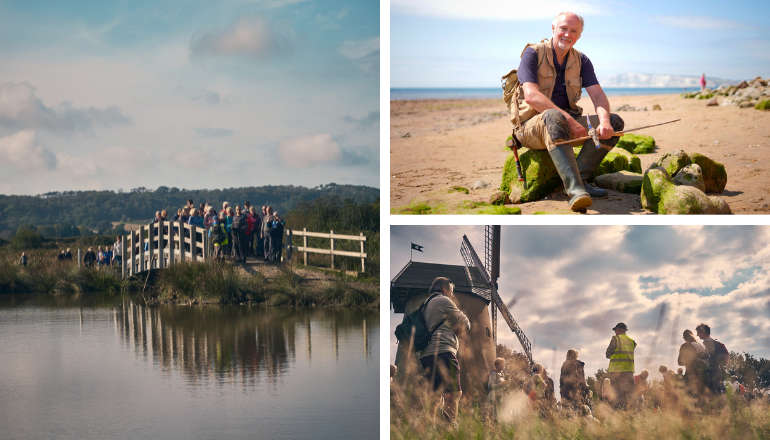 One Week To Go Until Isle Of Wight Walking Festival 25th Anniversary
 Apply Now For Grant Funding To Help Strengthen Family Support On Isle Of Wight
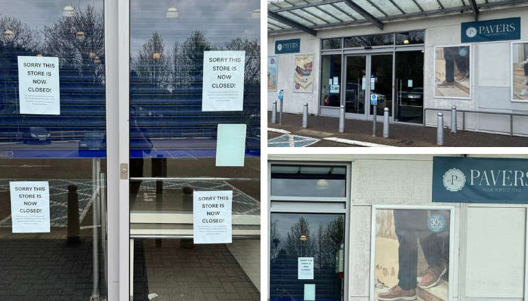 Pavers Shoes The Latest Newport Business To Close Its Doors
 Isle Of Wight Libraries Celebrate World Book Night
 Traffic Advice Issued For Walk The Wight
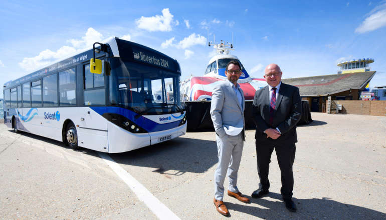 Hovertravel's Hoverbus Showcases All-New Look
 Bear Grylls Pays Homage To Young Islander Ginny Following Ultimate Scouting Award
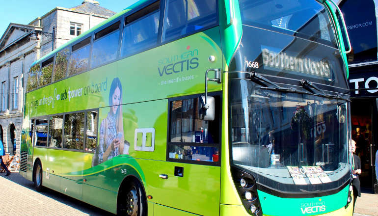 Southern Vectis To Open May Community Fund For Worthy Causes Across Isle Of Wight
 Terrorism Plot Teen From Isle Of Wight Further Sentenced
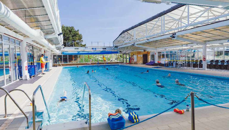 Ryde's Waterside Pool Secures £254,000 Of Government Refurbishment Funding
 Flood Warnings Eased But More 'Unsettled' Weather On The Way