


The Met Office has reported that thunderstorms may cause some flooding and disruption from this evening (Sunday).
It says there is a small chance that homes and businesses could be flooded quickly, with damage to some buildings from floodwater, lightning strikes or hail.
Where flooding or lightning strikes occur, there is a chance of delays and some cancellations to train and bus services.
Spray and sudden flooding could lead to difficult driving conditions and some road closures.
There is a slight chance that power cuts could occur and other services to some homes and businesses could be lost.
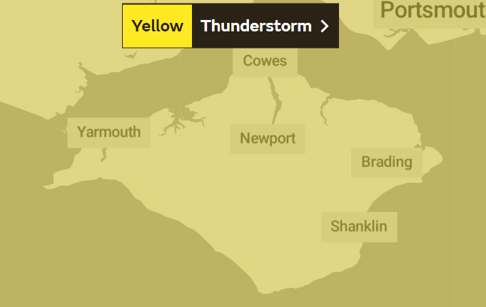
A statement issued by the Met Service said:
"A few places may experience a combination of heavy rain, frequent lightning and hail during Sunday night.
"Should thunderstorms develop, they are likely to move north from the south coast during Sunday evening into parts of south Wales, southern England and East Anglia overnight before gradually weakening during Monday morning.
"Whilst some places will remain dry, a few may see 20-30 mm of rain fall in less than an hour, with frequent lightning and hail additional hazards."
The warning will be in place from 8pm tonight until 5am tomorrow (Monday).
 Red Squirrel Property Shop Ventures Into Dubai Property Market
 New 2024/5 Annual Waste And Recycling Guide Out Soon
 Platform One Announces Winner Of 2024 Wight Noize Competition
 Royal Duke To Visit As Newport Minster Reopens
 Isle Of Wight Council To Support 'No Mow May' 2024
 English Coastal Path Complication Amid Osborne House Queen Victoria Collection Fears
 Seaview Pub Picks Up National Award
 Isle Of Wight Radio Child Of Wight Awards 2024 Nominations Now Open
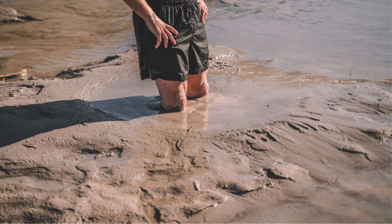 Fire Service Issues Water Safety And Mud Rescue Advice For Isle Of Wight
 New Online Cancer Support For Local Residents
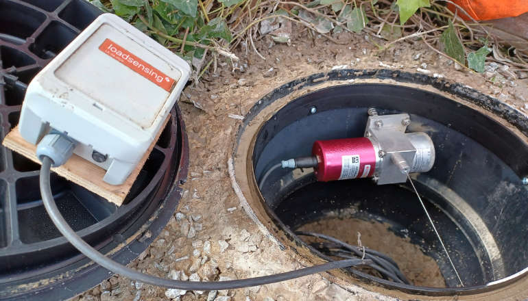 Specialist Monitoring Equipment Now Installed At Leeson Road
 West Wight Runner Jackie Follows PB Marathon Run With Eastenders Appearance
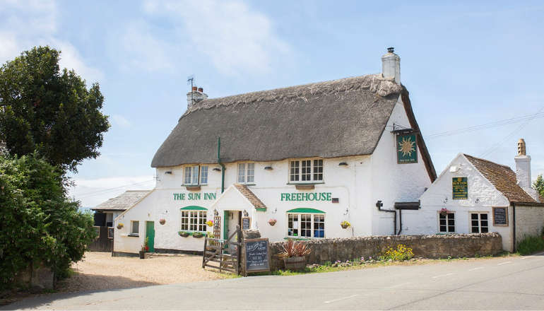 West Wight Pub Can Now Be Listed As 'Asset Of Community Value'
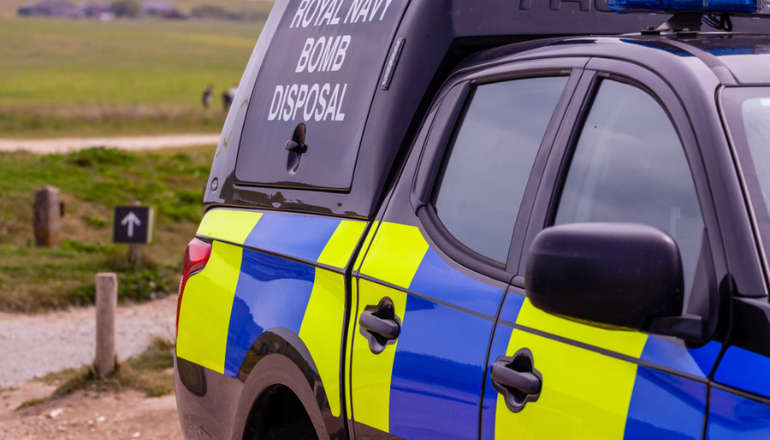 Royal Navy 'Bomb Squad' Called To Seaview Following Ordnance Alert
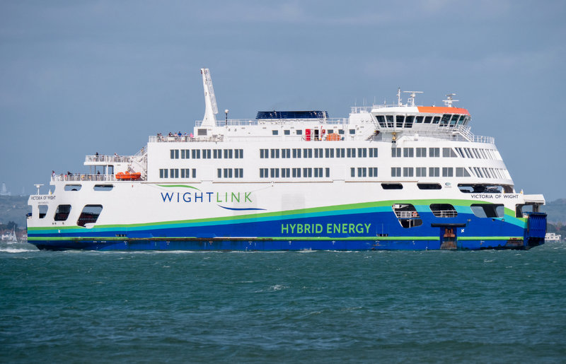 Automated Gates Arrive On Wightlink’s FastCat Foot Passenger Route
 Help Keep Isle Of Wight Streets Neat – Bring Your Bin In
 Two Passengers Injured Following Bus Crash In Ryde
 Late Night Reports Of Collision Spark Extensive Land, Sea And Air Search
 Islanders Taking On London Marathon Today For Local Charities
 Four Men Arrested Following Rogue Trader Activities In East Cowes