

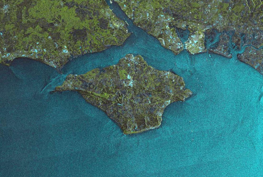
A groundbreaking new satellite image has captured the Isle of Wight from space.
In December, Surrey's Satellite Technology Limited's (SSTL) NovaSAR-1 satellite was tasked to image the United Kingdom.
The seven downloaded images have been stitched together into a mosaic corresponding to an area of approximately 1500x1168 km (1.75 million square km) or 938 x 730 miles (685,000 square miles).
NovaSAR-1 images using Synthetic Aperture Radar (SAR), a powerful tool for monitoring the Earth from space due to its ability to see through clouds and image the Earth both night and day.
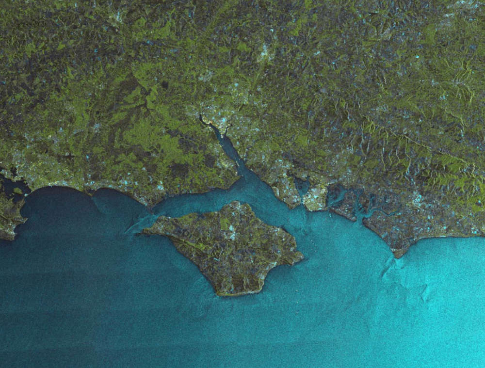
The Isle of Wight can be clearly seen in the image, along with cities, bridges, airports and offhsore wind farms.
NovaSAR-1 was designed and manufactured by SSTL, with an S-Band SAR payload developed by Airbus Defence and Space in Portsmouth and an Automatic Identification Receiver supplied by Honeywell Aerospace.
NovaSAR-1 is the first SAR spacecraft to be manufactured entirely in the UK.
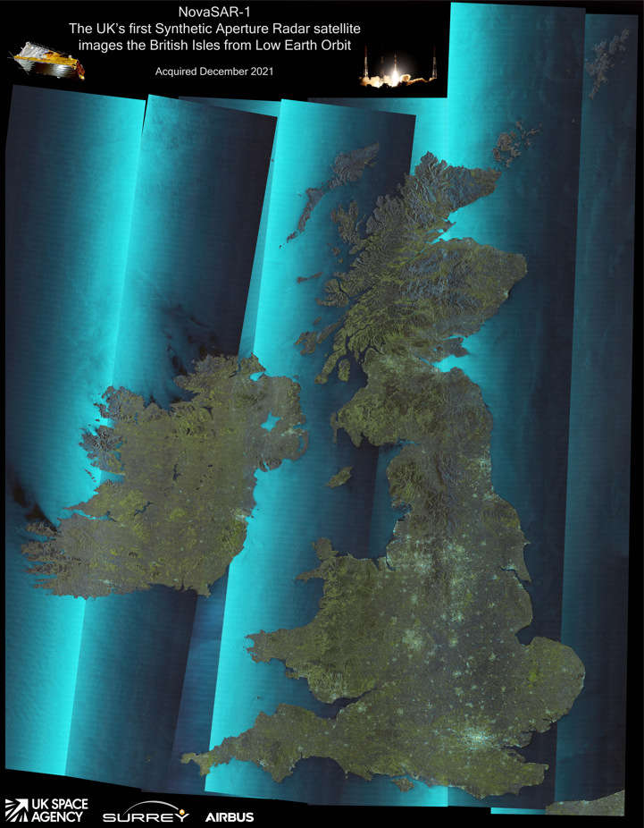
You can see a higher resolution image here - https://www.sstl.co.uk/media-hub/images/sar-earth-images/united-kingdom-sar-mosaic
 Royal Duke To Visit As Newport Minster Reopens
 Isle Of Wight Council To Support 'No Mow May' 2024
 English Coastal Path Complication Amid Osborne House Queen Victoria Collection Fears
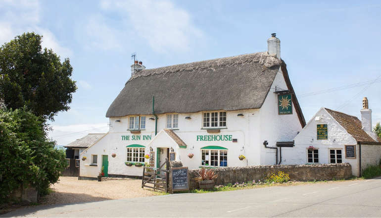
 Seaview Pub Picks Up National Award
 Isle Of Wight Radio Child Of Wight Awards 2024 Nominations Now Open
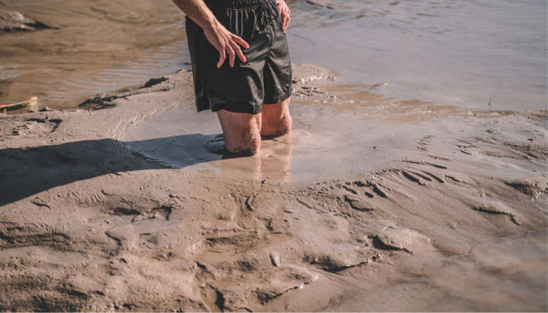 Fire Service Issues Water Safety And Mud Rescue Advice For Isle Of Wight
 New Online Cancer Support For Local Residents
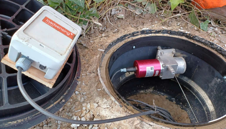 Specialist Monitoring Equipment Now Installed At Leeson Road
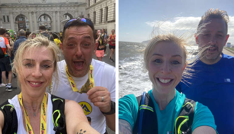
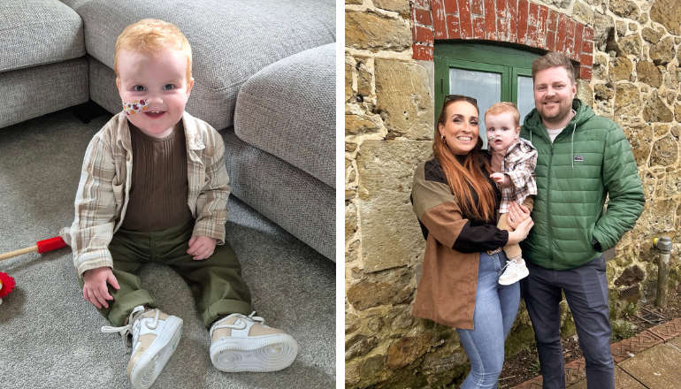
 West Wight Runner Jackie Follows PB Marathon Run With Eastenders Appearance
 West Wight Pub Can Now Be Listed As 'Asset Of Community Value'
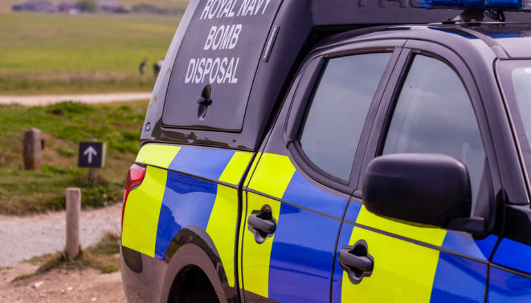 Royal Navy 'Bomb Squad' Called To Seaview Following Ordnance Alert
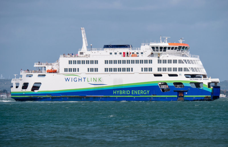 Automated Gates Arrive On Wightlink’s FastCat Foot Passenger Route
 Help Keep Isle Of Wight Streets Neat – Bring Your Bin In
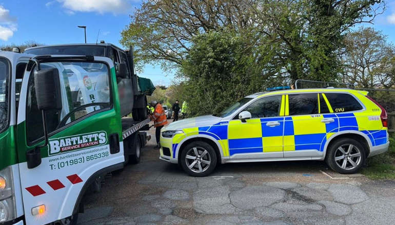
 Two Passengers Injured Following Bus Crash In Ryde
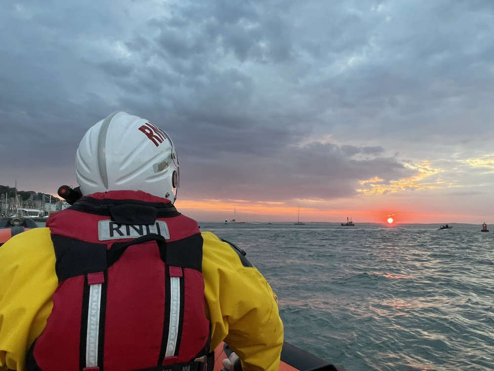 Late Night Reports Of Collision Spark Extensive Land, Sea And Air Search
 Islanders Taking On London Marathon Today For Local Charities
 Four Men Arrested Following Rogue Trader Activities In East Cowes
 Rugby Players Set To Scale Great Heights For Teddy
 Drug Driving, Domestic Abuse And Stalking Among Arrests Made As Police Target Isle Of Wight Criminals
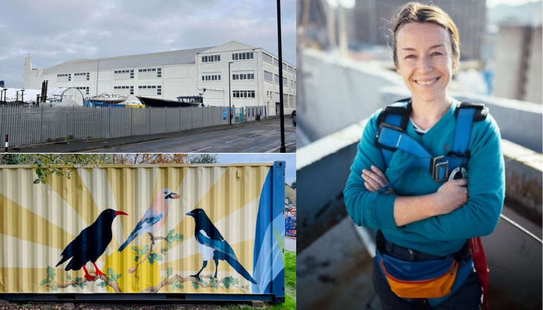 Work Begins On ‘Monumental’ Mural Project At Historic Columbine Building