

The Isle of Wight will experience a 'mini heatwave' for the first half of this week, according to the Isle of Wight Met Service.
Forecasters predict highs of 30 degrees celsius in some areas of the Island until Wednesday, with mostly light winds expected on the coast.
Today (Monday) a Heat Alert Level Two is in force, with moderate winds expected from the Southeast. Temperatures will range from 21’c to 23’c on the coast to 26’c to 28’c in more central, western and northern parts of the Island.
Tuesday
It will be a very warm or even hot day across the Island with a mixture of sunny spells and occasional cloudier periods. There is an increasing risk of the odd shower later in the day and this risk continuing overnight.
Temperatures will be around 22’c to 24’c on windward coasts but closer to 26’c to 28’c elsewhere with a few places in central and northwestern parts of the Island likely to reach 30’c. The wind will be mostly light and variable but with onshore sea breezes developing.
Wednesday
It is still a little uncertain at the moment but the latest data suggests it will stay very warm with a mixture of cloudy and sunny spells along with the odd thundery shower.
Temperatures will be 24’c to 26’c fairly widespread but a few places may see around 28’c, especially in more central parts of the Island. Winds will be turning into the Northeast and will be light to moderate.
 Red Squirrel Property Shop Ventures Into Dubai Property Market
 New 2024/5 Annual Waste And Recycling Guide Out Soon
 Platform One Announces Winner Of 2024 Wight Noize Competition
 Royal Duke To Visit As Newport Minster Reopens
 Isle Of Wight Council To Support 'No Mow May' 2024
 English Coastal Path Complication Amid Osborne House Queen Victoria Collection Fears
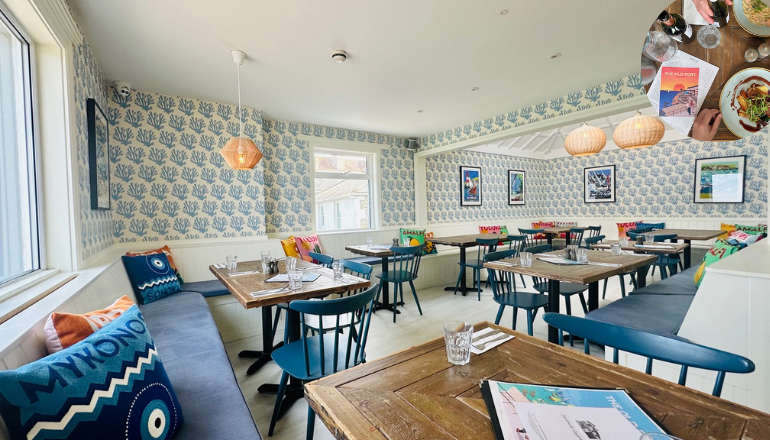 Seaview Pub Picks Up National Award
 Isle Of Wight Radio Child Of Wight Awards 2024 Nominations Now Open
 Fire Service Issues Water Safety And Mud Rescue Advice For Isle Of Wight
 New Online Cancer Support For Local Residents
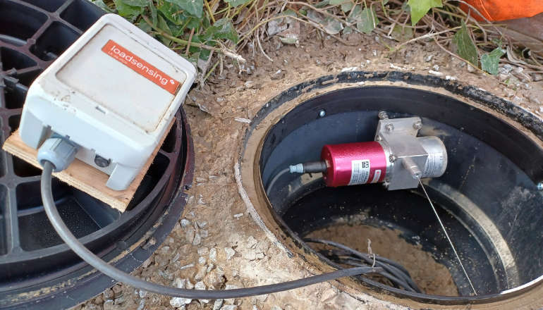 Specialist Monitoring Equipment Now Installed At Leeson Road
 West Wight Runner Jackie Follows PB Marathon Run With Eastenders Appearance
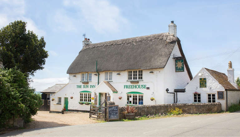 West Wight Pub Can Now Be Listed As 'Asset Of Community Value'
 Royal Navy 'Bomb Squad' Called To Seaview Following Ordnance Alert
 Automated Gates Arrive On Wightlink’s FastCat Foot Passenger Route
 Help Keep Isle Of Wight Streets Neat – Bring Your Bin In
 Two Passengers Injured Following Bus Crash In Ryde
 Late Night Reports Of Collision Spark Extensive Land, Sea And Air Search
 Islanders Taking On London Marathon Today For Local Charities
 Four Men Arrested Following Rogue Trader Activities In East Cowes