

A Met Office weather warning for the Isle of Wight has been updated to include Saturday morning (19).
A yellow warning is in place until 9pm tonight, with a second warning coming into force at 6am tomorrow until 6am Saturday.
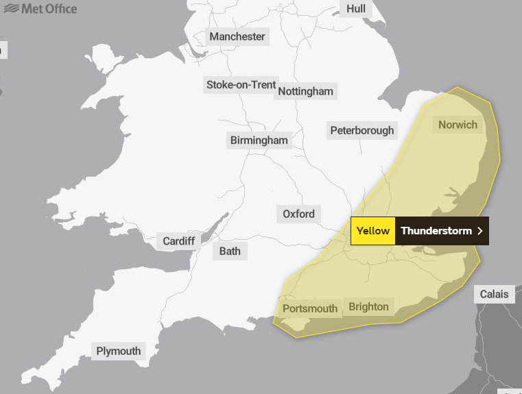
The Met Office said about today's warning:
"Whilst for most overnight rainfall will gradually fade leaving a mostly cloudy picture during Thursday afternoon there is a chance that thunderstorms may develop. This is most likely over parts of East Anglia and southeast England though still only a small chance."
Thursday weather warning
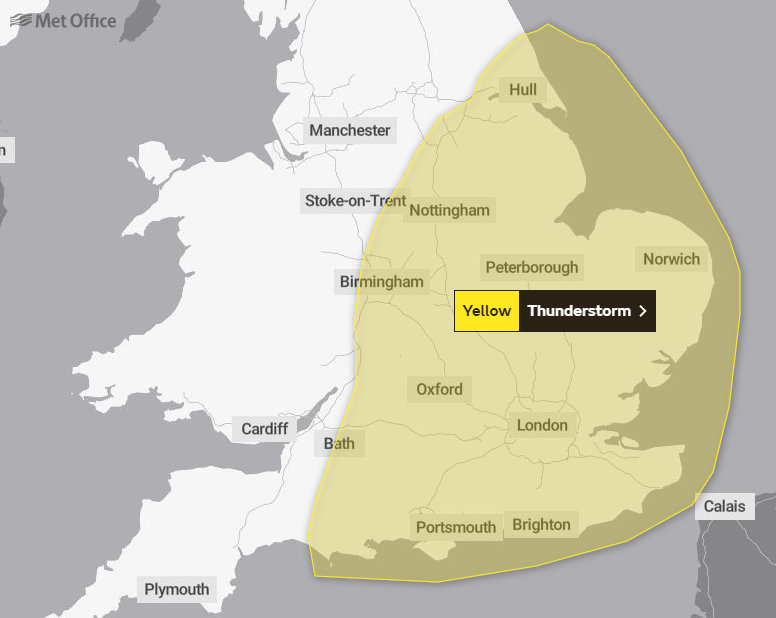
Speaking about tomorrow's warning, the Met Office said:
"A spell of quite prolonged and often heavy rain is expected to spread northwards into parts of England on Friday though there remains uncertainty in how far northwest this progresses.
"This area of rain then clears away northeast on Saturday morning. Parts of East Anglia, the East Midlands and southeast England may see 20-40 mm of rain with a few sites potentially seeing 50-70 mm. However, many parts will see much less rainfall. Some thunder and lightning is also possible, particularly in East Anglia, the East Midlands and southeast England but heavy rain is the main hazard."
Thursday weather warning
Meanwhile, the IW Met Service has issued the following forecasts:
Today (Thursday)
A very humid and rather warm day ahead despite the cloudy conditions. There is still the risk of the odd shower this morning, but also a few brighter spells from time to time. There are hints in some of the weather models that further heavy showers could push up from the south during the afternoon, and whilst this is rather uncertain, it does look as though the risk some showery rain will increase after midday.
Temperature 18-20°C
Wind north-northwest 6-12mph becoming 12-21mph later
Rainfall 0-3mm with localised rainfall possible
Tonight
A few showers in places along with rather cloudy and damp conditions.
Temperature 13-15°C
Wind north 10-19mph becoming 16-28mph by dawn
Rainfall 0-3mm with localised rainfall possible
Tomorrow (Friday)
Cloudy with further spells of rain at times, possibly heavy and even thundery locally. Feeling cold in a fresh breeze.
Temperature 14-15°C
Wind north 18-32mph
Rainfall 3-8mm with locally variable amounts
 Royal Duke To Visit As Newport Minster Reopens
 Isle Of Wight Council To Support 'No Mow May' 2024
 English Coastal Path Complication Amid Osborne House Queen Victoria Collection Fears
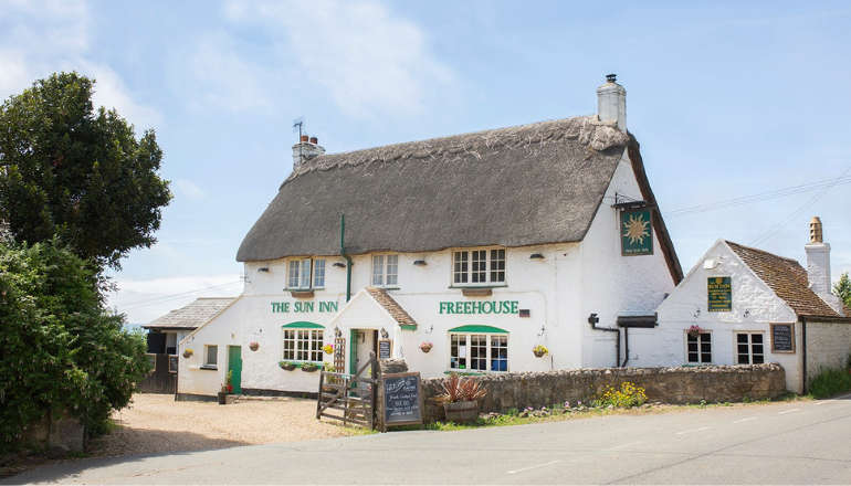
 Seaview Pub Picks Up National Award
 Isle Of Wight Radio Child Of Wight Awards 2024 Nominations Now Open
 Fire Service Issues Water Safety And Mud Rescue Advice For Isle Of Wight
 New Online Cancer Support For Local Residents
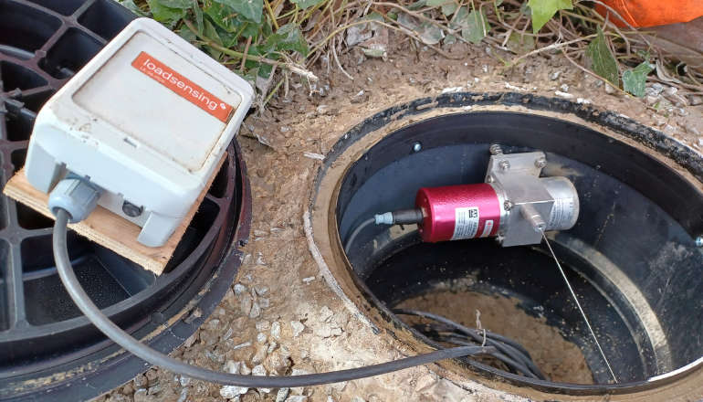 Specialist Monitoring Equipment Now Installed At Leeson Road
 West Wight Runner Jackie Follows PB Marathon Run With Eastenders Appearance
 West Wight Pub Can Now Be Listed As 'Asset Of Community Value'
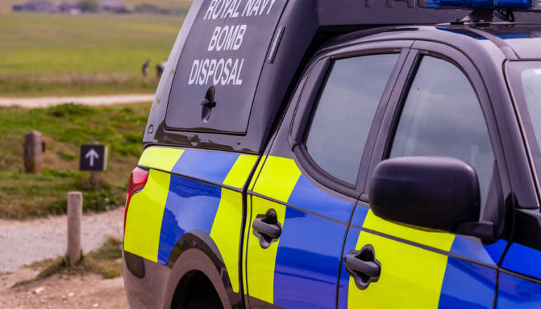 Royal Navy 'Bomb Squad' Called To Seaview Following Ordnance Alert
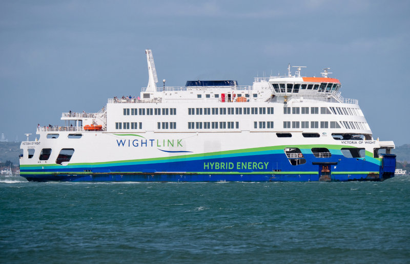 Automated Gates Arrive On Wightlink’s FastCat Foot Passenger Route
 Help Keep Isle Of Wight Streets Neat – Bring Your Bin In
 Two Passengers Injured Following Bus Crash In Ryde
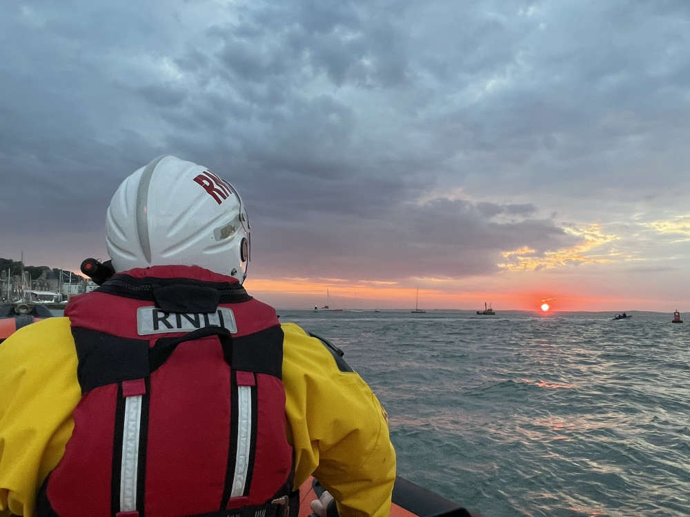 Late Night Reports Of Collision Spark Extensive Land, Sea And Air Search
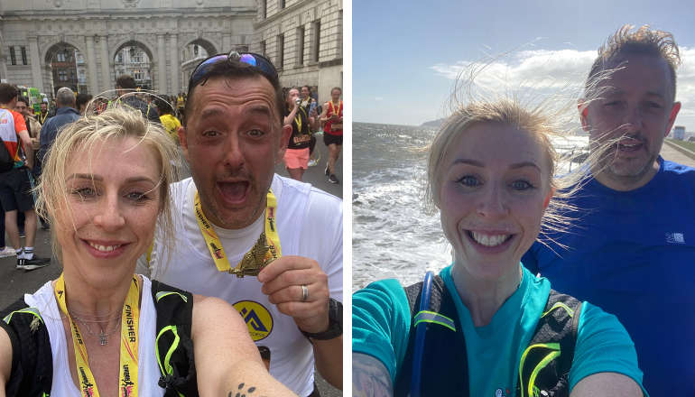 Islanders Taking On London Marathon Today For Local Charities
 Four Men Arrested Following Rogue Trader Activities In East Cowes
 Rugby Players Set To Scale Great Heights For Teddy
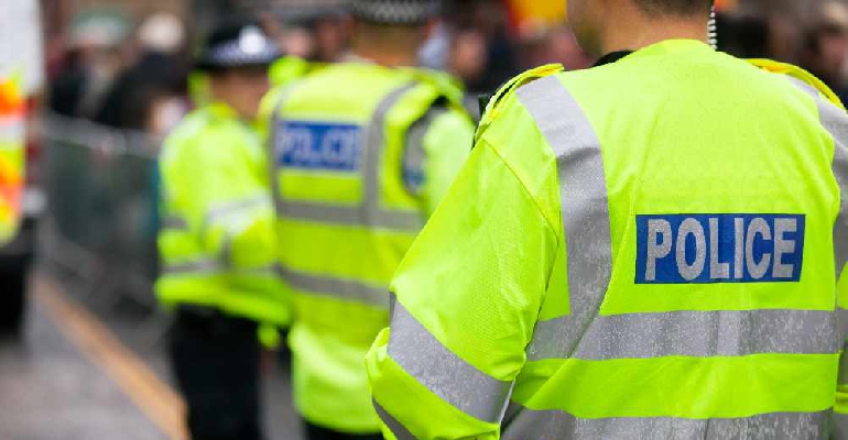
 Drug Driving, Domestic Abuse And Stalking Among Arrests Made As Police Target Isle Of Wight Criminals
 Work Begins On ‘Monumental’ Mural Project At Historic Columbine Building