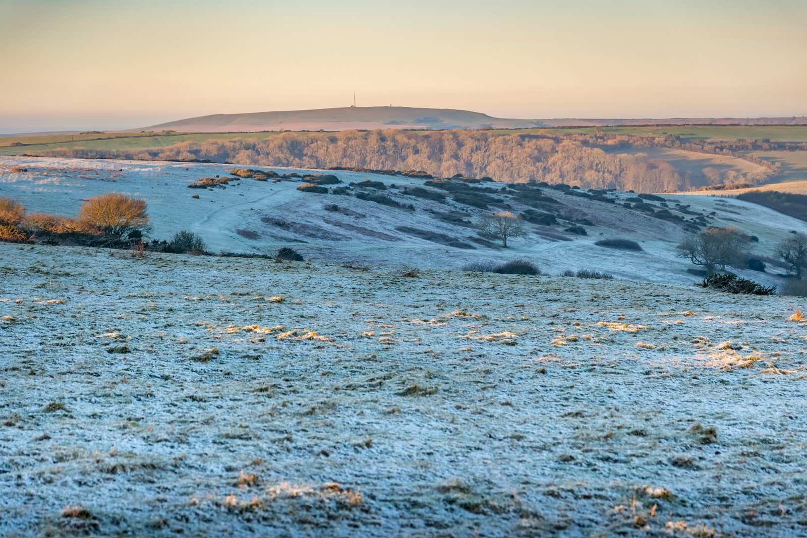
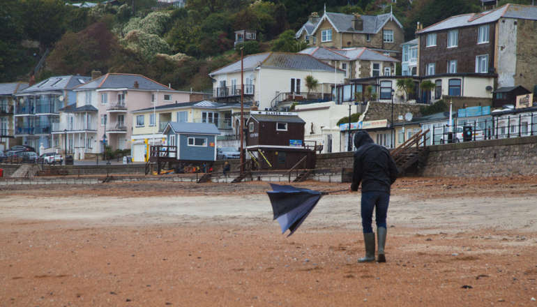
The Isle of Wight could see snowfall - combined with rain and sleet - later this week.
The Isle of Wight Met Service has said the conditions will turn wintry throughout the week, with the chance of snow on Thursday (31).
After a sunny couple of weeks with temperatures topping 21.c in some parts, Islanders are being warned of much colder weather.
The Isle of Wight Met Service said:
Tomorrow (Tuesday) will be a cloudy day with patchy rain at times. Feeling quite cold compared to recent days with temperatures around 11°C in a moderate east to northeasterly breeze.

Wednesday will be a somewhat brighter day but still with areas of cloud moving through at times, especially during the afternoon when the cloud will become thick enough for some patchy rain.
As we move into the evening we will see some heavier and more persistent rain arriving from the north, and as this moves through the winds will strengthen from the northeast and the temperatures will drop, turning the rain to sleet in places and perhaps even into snow over high ground.


Thursday early morning will see rain, sleet and hill snow moving south across the island. We aren’t expecting any accumulations but the highest hills may see a slight dusting.
By daybreak the heaviest sleet and hill snow will have moved away to the south although we may still see a little sleet or snow falling at first but this will clear to the south allowing sunny spells to develop, however by late morning and especially by early afternoon we will see wintry showers developing with a mixture of soft hail, sleet and snow, potentially giving some very brief localised accumulations during the heaviest showers but melting shortly thereafter.
The temperatures will be cold for the time of year, rising to around 6°C during any sunny spells but falling close to freezing in and around the heavier showers.
The wind will be a fresh north to northeasterly, possibly gusting up to 40-50mph around the heaviest showers.
It will turn frosty overnight.

Friday will be a cold day with sunny spells at first, but the cloud will soon develop, bringing some scattered showers of rain, hail and sleet. It will still feel cold but perhaps a little less so than on Thursday.
Temperatures will be around 7-8°C in a fresh northerly breeze. Overnight will see another widespread frost.
The Weekend will be cold and bright with the risk of showers during the afternoons, especially on Sunday. The showers will be of rain, hail or sleet, perhaps even a little snow mixed in here and there.
The temperatures will be fairly cold for the time of year, and even though 7°C or 8°C doesn’t seem too bad, it will dip significantly during any showers to around 2°C or 3°C which is what will allow for the wintry nature of the showers.
Frosty nights are still likely across the Island.
 Twenty Isle Of Wight Pubs Under Threat As Stonegate Issues Profit Warning
 Fundraiser Launched As Kezi's Kindness Founder Diagnosed With Incurable Cancer
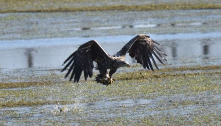 Bon Voyage — White-Tailed Eagle Soars To France
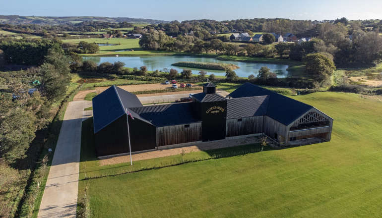 Goddards Brewery Scoops Four Top Industry Awards At International Competition
 Briddlesford Road Crash Results In Two Injured
 Isle Of Wight MP Extolls Virtues Of Joint Emergency Service Officers For Isle Of Wight
 Island Labour Announces Parliamentary Candidates As Quigley Vows To 'Take Fight' To Bob Seely
 Can You Help Police To Identify Man Linked To Waitrose Theft?
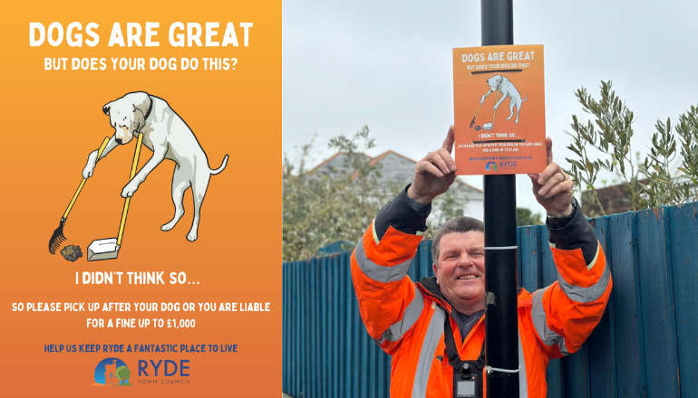 Ryde Town Council In Crackdown On Dog Fouling
 Former Patient Opens New Intensive Care Unit
 Isle Of Wight Primary School Place Allocations Announced For September
 The Rules Islanders Need To Know For Police And Crime Commissioner Election Postal Voting
 Family Pays Tribute To Paul Hart Following Fatal Newport Collision
 Teenager Sentenced For Planning Isle Of Wight Festival Terrorist Attack
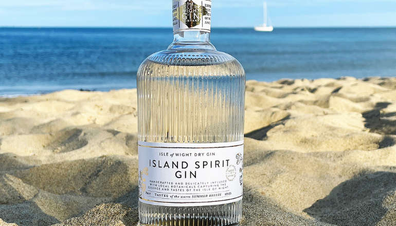 Isle Of Wight Gin Company Wins Medal At 2024 London Spirits Competition
 Yellow Weather Warning Issued For Isle Of Wight
 Police Confirm Bembridge Beach Discovery 'Not Human Remains' Despite Reports To Contrary
 Police Investigation Updated Following Discovery Of Body
 Spitfires To Soar As Part Of D-Day Commemoration At IW Armed Forces Day
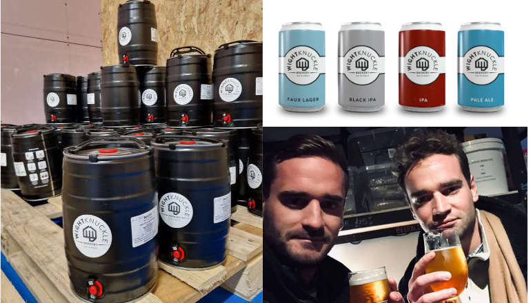 Another Accolade For Wight Knuckle Brewery At National Independent Beer Awards