

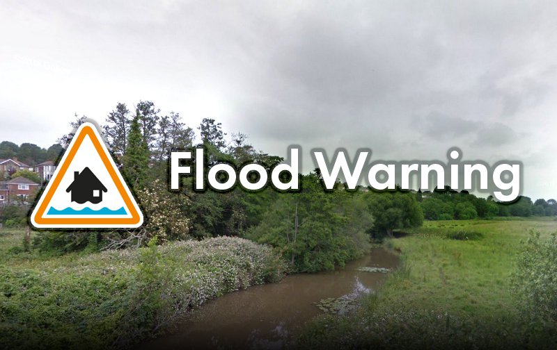
Flood warnings have been issued by the Environment Agency for areas in several Isle of Wight towns.
Newport and Carisbrooke - Lukely Brook:
In Newport and Carisbrooke, a 'be prepared' warning has been issued for Lukely Brook as 21mm of rain has been recorded in the last 8 hours.
The river bank is said to be full, with the potential for water to begin to come out of the bank at Hunnycross Way and Vicarage Walk causing the footpaths to flood.
Levels should begin to fall at around 11.30am.
Ryde - Monktonmead Brook:
A further 'be prepared' warning has been put into place for Ryde St John's, with the Environment Agency warning of issues arising from Monktonmead Brook - which has been described as 'high and rising'.
In the last nine hours, 20mm of rain has been recorded at Ryde, meaning water may flow across the railway tracks upstream of St John's Station.
Water levels will peak at around 1pm, but are not likely to fall until 3pm.
People with vehicles and equipment in depots located immediately next to the river and railway line are advised to consider moving them.
UPDATED 11.15:
Newport and Blackwater - River Medina:
A warning for the River Medina has now been issued, with residents in Blackwater warned to expect flooding to gardens and nearby roads - especially Blackwater Hollow.
From 11.15am, the river is expected to affect land and gardens on Mill Farm and at Sandy Lane.
High levels with fast flowing water are also expected at the stretch of river on St George's Way in Shide, with water levels peaking at 1pm, but unlikely to fall until 3pm.
Motorists are reminded to avoid driving through floodwater.
UPDATED 12.26pm:
Gurnard - Gurnard Luck:
The Environment Agency has issued a warning for Gurnard Luck this afternoon, with warnings that the water level is high and rising.
With high tide at Cowes being at 12.01pm, the water level is expected to keep rising until approximately 3pm.
From 2pm, the river may cause garden flooding to properties located in the vicinity of it on Marsh Road, and motorists are warned to keep away from the river at Gurnard Road Bridge due to the deep and fast-flowing water.
Whitwell, Wroxall, Langbridge, Alverstone - Eastern Yar:
A 'take immediate action' warning has been issued for towns and villages along the Eastern Yar.
The Environment Agency says that the water level is very high and rising due to the 30mm of rain that has fallen in Wroxall in the last 12 hours.
Flooding is affecting land, footpaths and cycle tracks - with the main route between Ventnor and Whitwell now under water for approximately a mile.
At Budbridge, the river has only just peaked, and from 4pm, it may begin to affect access tracks in Horringford.
At Alverstone and Langbridge, the river will continue to rise until midnight and will remain high until the early hours of tomorrow morning (Sunday).
If you use a pump to help reduce water levels, you are instructed to ensure it can operate.
What do the different types of flood warning mean?
![]() Flood alert - Prepare:
Flood alert - Prepare:
- prepare a bag that includes medicines and insurance documents
- check flood warnings
![]() Flood alert - Act
Flood alert - Act
- turn off gas, water and electricity
- move things upstairs or to safety
- move family, pets and car to safety
Get more information on what to do in a flood here.
 Royal Duke To Visit As Newport Minster Reopens
 Isle Of Wight Council To Support 'No Mow May' 2024
 English Coastal Path Complication Amid Osborne House Queen Victoria Collection Fears
 Seaview Pub Picks Up National Award
 Isle Of Wight Radio Child Of Wight Awards 2024 Nominations Now Open
 Fire Service Issues Water Safety And Mud Rescue Advice For Isle Of Wight
 New Online Cancer Support For Local Residents
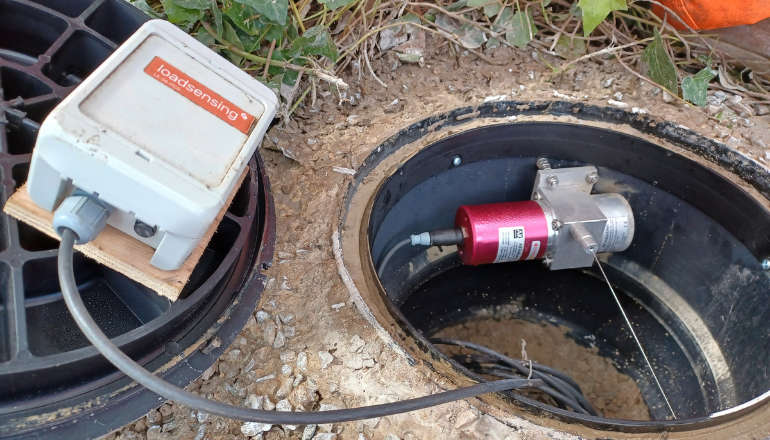 Specialist Monitoring Equipment Now Installed At Leeson Road
 West Wight Runner Jackie Follows PB Marathon Run With Eastenders Appearance
 West Wight Pub Can Now Be Listed As 'Asset Of Community Value'
 Royal Navy 'Bomb Squad' Called To Seaview Following Ordnance Alert
 Automated Gates Arrive On Wightlink’s FastCat Foot Passenger Route
 Help Keep Isle Of Wight Streets Neat – Bring Your Bin In
 Two Passengers Injured Following Bus Crash In Ryde
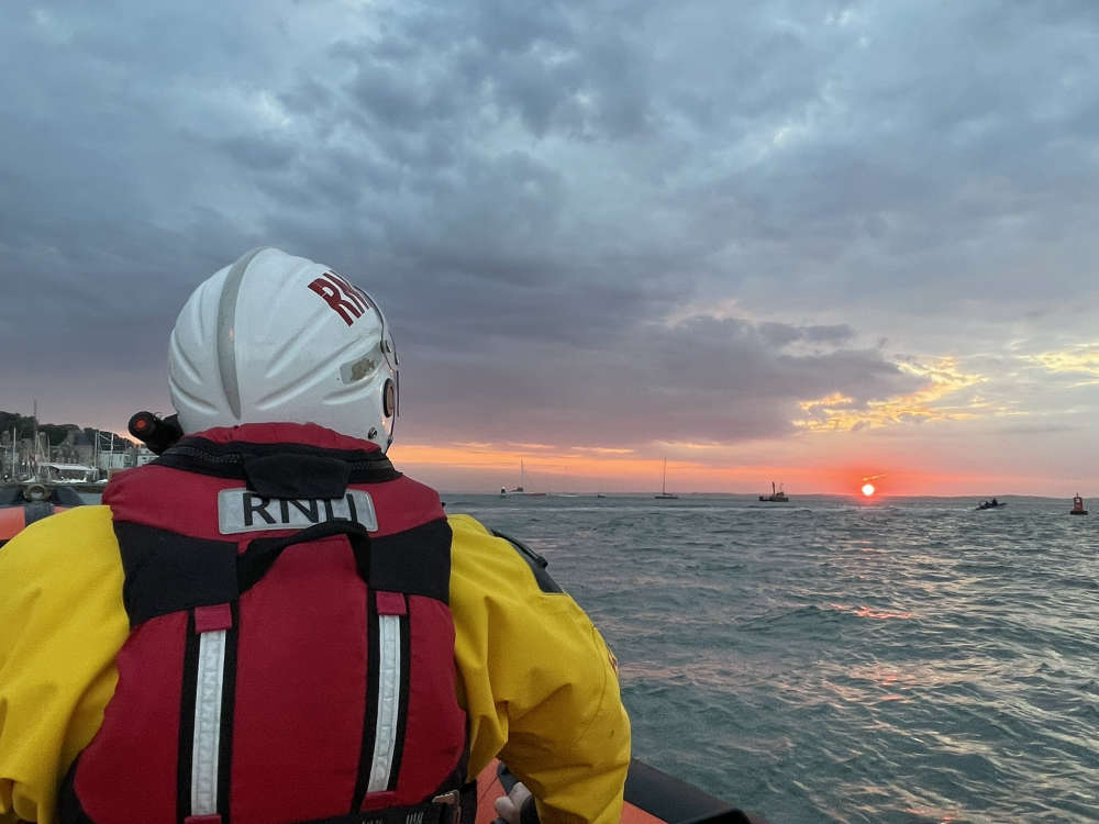 Late Night Reports Of Collision Spark Extensive Land, Sea And Air Search
 Islanders Taking On London Marathon Today For Local Charities
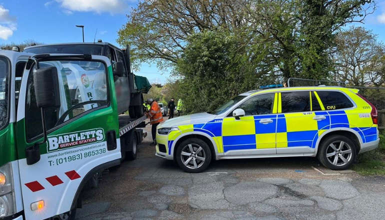
 Four Men Arrested Following Rogue Trader Activities In East Cowes
 Rugby Players Set To Scale Great Heights For Teddy
 Drug Driving, Domestic Abuse And Stalking Among Arrests Made As Police Target Isle Of Wight Criminals
 Work Begins On ‘Monumental’ Mural Project At Historic Columbine Building